Content
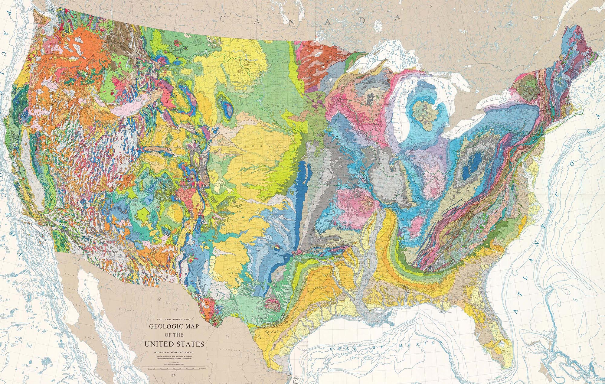
Geologic mapping is a highly interpretive, scientific process that can produce a range of map products for many different uses. They are uniquely suited to solving problems involving Earth resources, hazards, and environments.
Geologic maps represent the distribution of different types of rock and surficial deposits, as well as locations of geologic structures such as faults and folds.
Link to Conservation and Survey Division StateMap Page: https://snr.unl.edu/csd/geology/statemap.aspx
Link to National Park Service (NPS) State Geologic Maps: https://www.nps.gov/subjects/geology/state-geologic-maps.htm
Link to US Geologic Survey (USGS) 2025 Cooperative National Geologic Map: https://ngmdb.usgs.gov/nationalgeology
Link to USGS Maps Page: https://www.usgs.gov/products/maps
Link to USGS Topographic Maps: https://www.usgs.gov/programs/national-geospatial-program/topographic-maps
