
Content
Click Here to View the Published Paper
Lead Author: Paul R. Hanson
Co-Authors: R. M. Joeckel, and L. M. Howard
Overview:
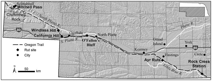
The Oregon Trail was the primary westward migration route into the trans-Missouri west for Euro-Americans prior to completion of the transcontinental railroad in 1869. Remnant wagon-wheel ruts are preserved in several locations in Nebraska under various environmental conditions and land uses.
In this paper we identify remnant ruts that have been preserved for more than 150 years in Nebraska in historical aerial photographs dating back to the late 1930s, in satellite imagery taken from the 1980s to the present, and—for the first time—in recent LiDAR images.
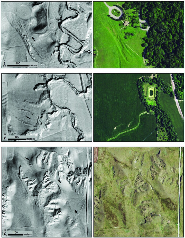
LiDAR and 2018 NAIP images for Oregon Trail ruts at the Rock Creek Station (top), Ayr (middle), and California Hill (bottom). Images on the left are hillshades generated from LiDAR data collected in 2009 (Rock Creek Station and Ayr sites) and 2016 (California Hill site). Images on the right are aerial photographs from the National Agriculture Imagery Program (NAIP) taken during the growing season in 2018. Arrows on the LiDAR images indicate ruts and direction of movement by wagon trains.
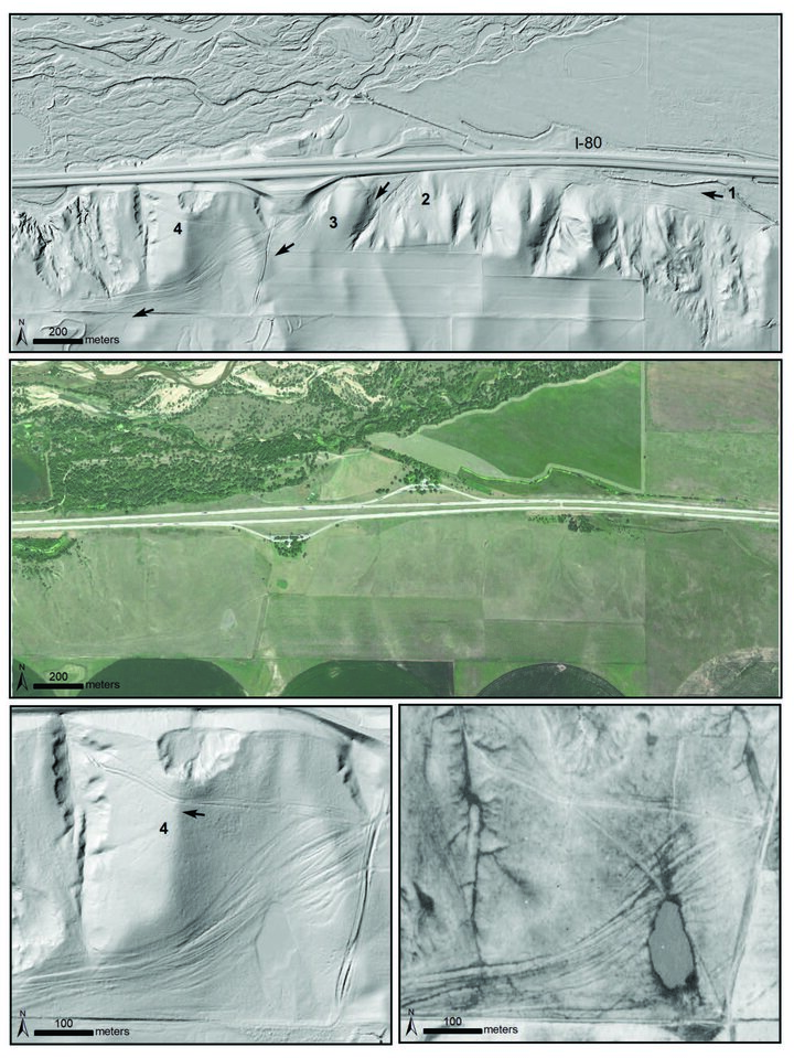
Images showing Oregon Trail ruts at O’Fallon’s Bluff, Nebraska. Top image is hillshade generated from LiDAR data collected in 2011,
middle is an aerial photograph from the National Agriculture Imagery Program (NAIP) taken in 2018, and bottom shows close-up
view of LiDAR (left) and 1938 aerial stereophotograph (right) showing ruts on top of the bluff and a possible early descension point (4). On the LiDAR images, arrows show the paths and direction of movement, and labeled locations 1, 2, 3, and 4 are referenced in the discussion. The braided pattern of the Platte River and Interstate 80 can be seen at the top of the two upper images.